Survey Topographical Procedures 1 – Fundamentals
$495.00 inc GST
This is day 1 of a two-day course in the use of 12d Model for Topographical Surveying.
Participants will learn the procedures for taking raw field data and generating fully annotated plots of the survey, including contours, then generate data files and information for setout.
This session covers the procedures for taking electronic data collected on a Total Station or GPS unit, and reducing the data into 12d Model.
- Start Time: 9:00 am
- End Time: 5:00 pm
- Date: Tuesday 23rd July 2024
- Place: workbee – 229 Miller St, North Sydney NSW 2060
6 places available
Survey Topographical Procedures 1 – Fundamentals is part one of a two day 12d Model Training course about taking raw field data and generating fully annotated plots of the survey, including contours, then generate data files and information for setout.
Participants will become familiar with the techniques for mapping and labelling in 12d Model and for creating data rich DE information for clients.
Prerequisites:
- Attend the ‘Introduction to 12d Model’ training course OR
- Complete the Premium version of our on-line training course ‘Introduction to 12d Model’ OR
- Experience gained in the workplace in the use of 12d Model for modelling surfaces and creating strings. If you claim workplace experience, you will need to complete on-line exercises to demonstrate your competence.
Outcomes
This session covers the procedures for taking electronic data collected on a Total Station or GPS unit, and reducing the data into 12d Model.
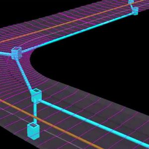
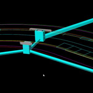
Steps covered include reducing the data, correcting miss-coded points and other field errors, manipulating the data into models (layers) with colours / linestyles / symbols applied.
You will be familiar with the use of a map file and label mapping techniques to output survey information to both PDF or CAD.
Course Outline
- Setup 12d Model to receive data from your instrument.
- Download data; convert into 12d Models field (neutral) format.
- Create a (survey data reduction) function to import the field file into 12d Model.
- Manipulate the data into models (layers) with colours / linestyles / symbols through a map file.
- Apply curve fitting, pipes, templates etc.
- Use 12d Model to correct codes/target heights and other typical field errors.
- Check for crossing breaklines and other irregularities.
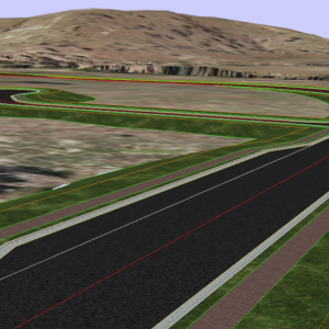
- Triangulate the data and view the contours.
- Create cross sections through a survey.
- Plot the results and/or transfer the data to an external package.
Equivalency
This course presents the ideas and techniques in 12d Solutions’ training module S01.
Further Training
For Civil Designers, the next course is Survey Topographical Procedures 2 – Essential Techniques
Related products
-

Stormwater Drainage 1 – Geometric Design
Tuesday 23rd July 2024workbee - 229 Miller St, North Sydney NSW 2060$495.00 inc GST Register Now -
Civil Design Basics 2 – Essential Techniques
Wed 24 July 2024workbee - 229 Miller St, North Sydney NSW 2060$495.00 inc GST Register Now -
Civil Design Basics 1 – Fundamentals
Tues 23rd July 2024workbee - 229 Miller St, North Sydney NSW 2060$495.00 inc GST Register Now -
Stormwater Drainage 2 – Network Design and Rational Analysis
Wed 24 July 2024workbee - 229 Miller St, North Sydney NSW 2060$495.00 inc GST Register Now